Data Packs AU Data Index
AU Data IndexComing soon
An index of public Australian Esri REST services. Searchable, mappable and queryable.
Users and agents will search and query the Esri REST services councils and agencies already publish, and get answers with a citation.
Data types available
Vector data only, published as Esri REST endpoints by local councils and by state and federal agencies.
- Points Addresses, assets, monitoring sites
- Lines Roads, pipes, streams
- Polygons Parcels, zones, hazard extents
Current coverage
- 522
- servers
- 94,229
- layers and tables
- 3.5 billion
- features
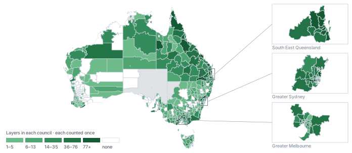
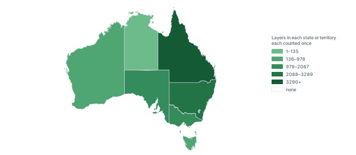
Figures as at 12 October 2026.