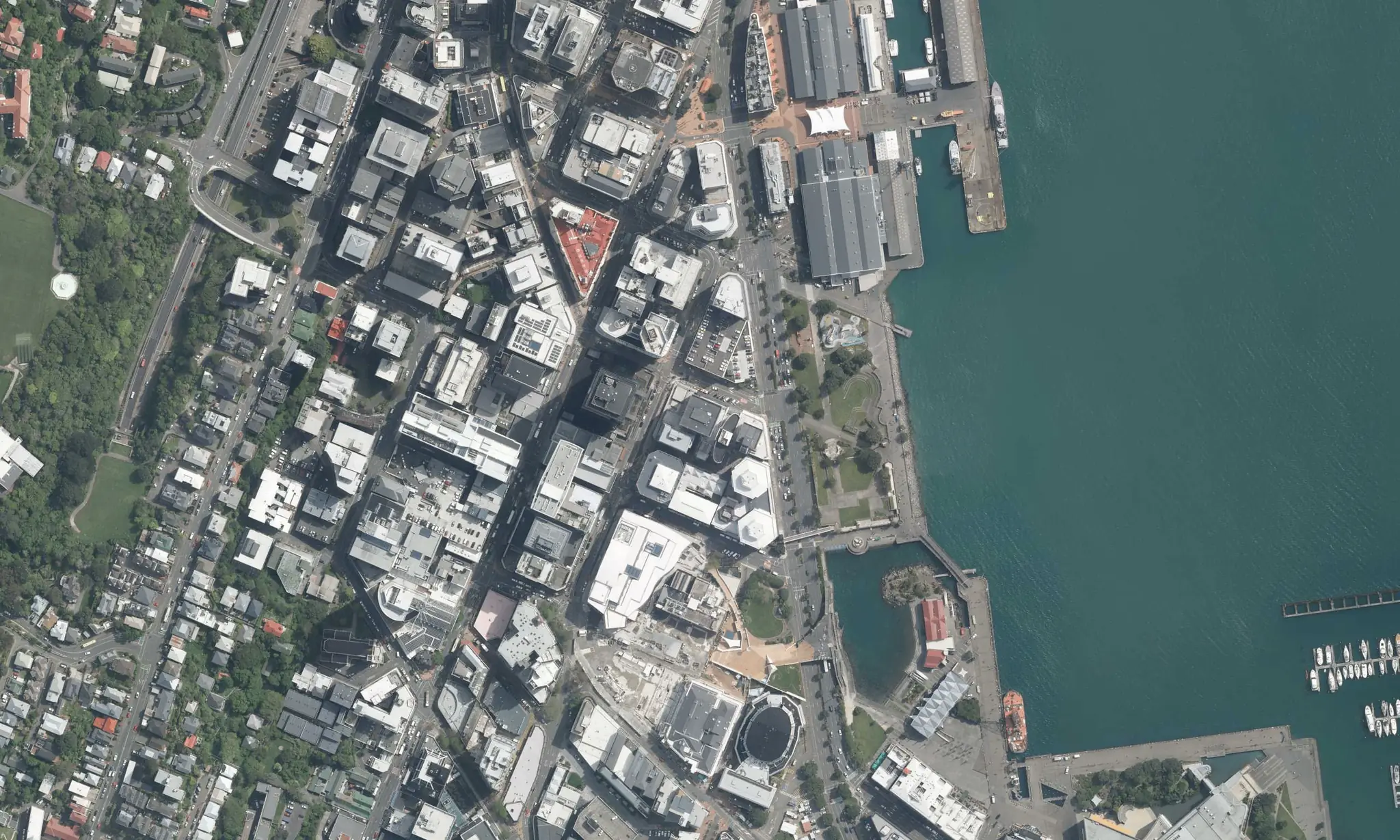
Ask about any place. KxAI builds the map.
Koordinates comes with council, county and state data already indexed. Ask KxAI a question and it finds the right layers and builds the map.
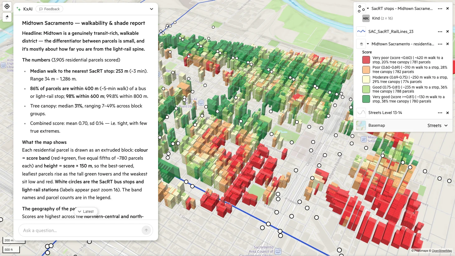
Public data from the source, ready before you upload anything
Layers published by councils, counties, states and national agencies, read from their own services, so you can map and query them without hunting them down first.
- Zoning
- Hazards
- Parcels
- Planning
- Transport
- Boundaries
How a question becomes a map
- 1
Find or bring your data
Find the zoning, hazard or parcel layer you need in the Data Indexes. Add your own data when you have it.
- 2
Ask KxAI
Builds the map, runs the analysis and shows how it got there.
-
Three questions, three maps
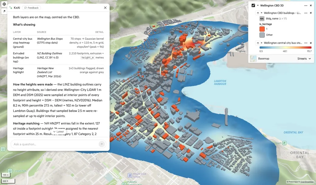
“Make a heatmap of bus stops across Wellington’s central city, then extrude buildings in 3D by height on top and highlight heritage-listed buildings in a contrasting colour.”
KxAI turned 70 bus stops into a density surface, extruded 2,210 buildings and picked out the 143 heritage-listed ones in orange.
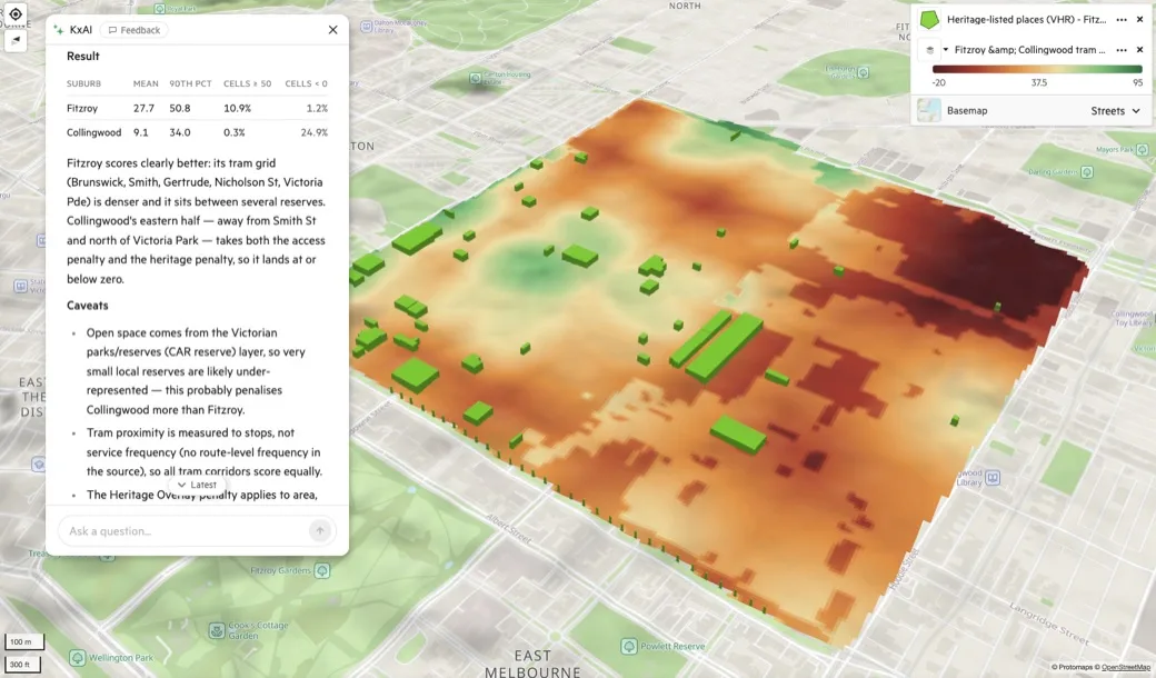
“In Fitzroy and Collingwood, score each area on closeness to trams and parks, subtract a penalty for heritage overlay, and show the result as a raster with heritage-listed buildings on top.”
Fitzroy averaged 27.7 and Collingwood averaged 9.1, with a quarter of Collingwood scoring below zero once the heritage penalty applied.
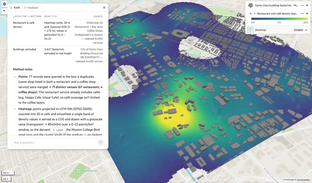
“Create a heatmap of restaurants and cafés around Santa Clara’s Mission College and Levi’s Stadium area, then extrude buildings on top in 3D, all in a single neutral gray.”
KxAI pulled restaurant and coffee shop layers from two indexed sources and merged the duplicates, leaving 71 distinct venues.
Use KxAI from Claude or ChatGPT
Ask the same questions of your data from the AI assistant you already use. Admins set who can see what.
How MCP worksoutside the 1-in-100-year
flood zone but an overland flow path crosses
the eastern boundary.
Where your data lives
KxAI works on the Koordinates platform: your data, its history and the sharing behind every map.
Storage
Your vector, raster and point cloud data in one place, large files included.
Manage it in the browser
Upload, organise and control access without specialist software.
Every change kept
Drafts stay private until you publish, and earlier versions can be restored.
Share and publish
Map viewers for your team, and live services and APIs for the systems that need them.
Plans for one person or a team
AI Pro User
Koordinates with KxAI for one person.
- KxAI Map Analyst
- 20,000 AI credits a month
- MCP for Claude and ChatGPT
- Your region's Data Index, included while it's in Labs
Team Cloud Plan
Koordinates with KxAI for a team: seats, an admin and a private site.
- 1 Paid Seat and 3 KxAI Seats
- 60,000 AI credits a month, shared across the account
- 50 shared map viewers
- Your region's Data Index, included while it's in Labs
Publishing data for an organisation? Talk to us