FEATURES
Desktop App
Discover, clone, and collaborate on geospatial data from your desktop.

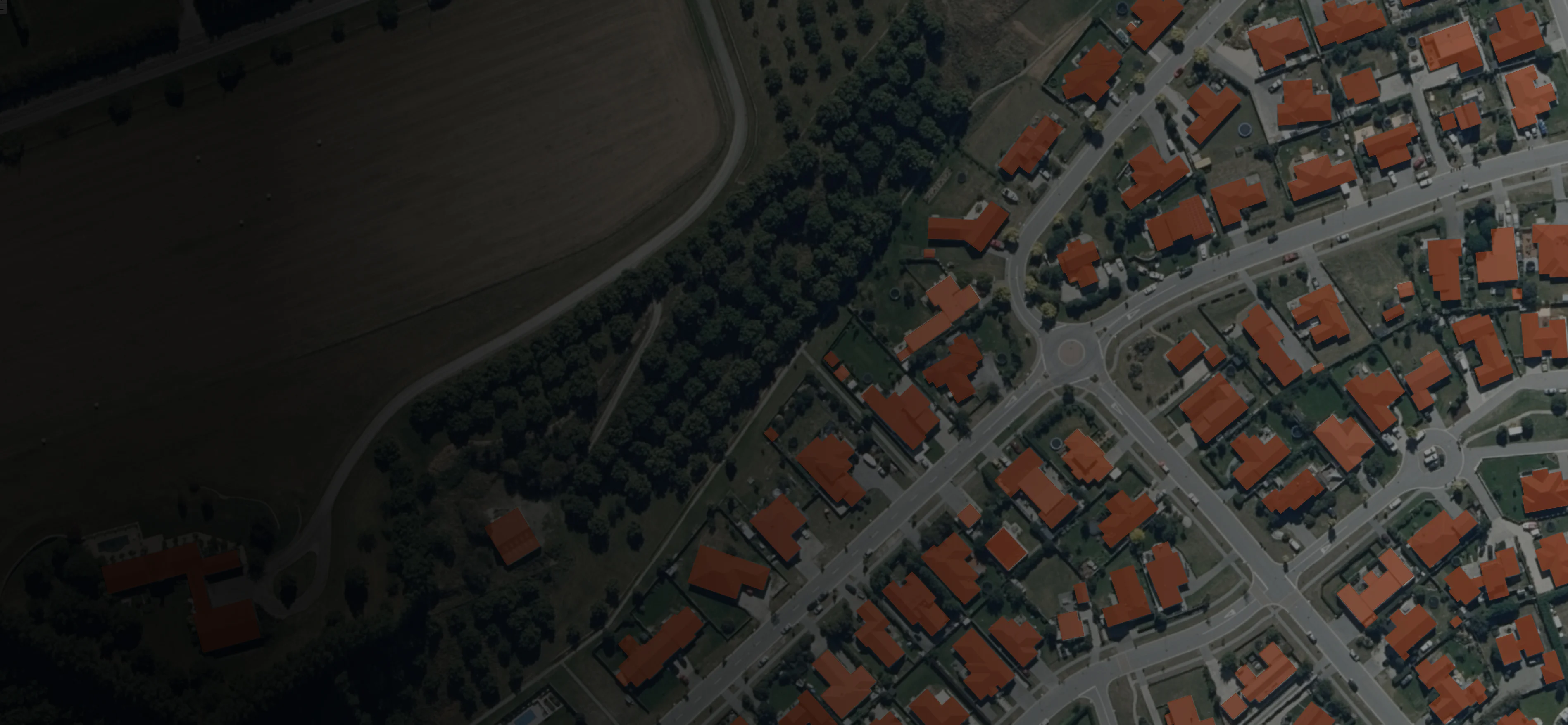
A World of Data
Browse more than 25,000 datasets from Koordinates Cloud.
- Find and clone public data with a click — alongside your own private data — with updates from source applied automatically.
- Pull public and proprietary data into one app

Distributed Data Collaboration
Say goodbye to shared drives and insecure emails. Collaborate on data with confidence.
- Keep track of the latest changes with distributed version control.
- Data updates are automatically detected, so you’re always working with the latest version of your data.
- Roll back changes at any point in time.

Clone, Fork, and Merge
Bring the world of Git to your geospatial data. Create a local, offline version of your data — pulling the latest changes — with a click.
- Clone data to work locally and merge edits simultaneously with others
- Keep track of changes with Kart Data Version Control.
- Data can be closed using the Koordinates App, the Kart CLI, or supported plugins.
Additional features of the Koordinates Desktop App

Data Browser
Accelerate access to geospatial data for colleagues and collaborators with our intuitive data browser.

Map Viewer
Easily visualise, explore, query and share your data with our dynamic and intuitive map viewer, giving you a powerful tool to gain insights and make better decisions.
Data Manager
User-friendly data, metadata, and document management from the cloud. Remove the risk from data updates with distributed version control.
Integrations and plugins
Integrate your existing GIS with Koordinates Cloud and a range of plugins, including QGIS, Kart, and FME.
Data Browser
Accelerate access to geospatial data for colleagues and collaborators with our intuitive data browser.
Map Viewer
Easily visualise, explore, query and share your data with our dynamic and intuitive map viewer, giving you a powerful tool to gain insights and make better decisions.
Data Manager
User-friendly data, metadata, and document management from the cloud. Remove the risk from data updates with distributed version control.
Integrations and plugins
Integrate your existing GIS with Koordinates Cloud and a range of plugins, including QGIS, Kart, and FME.
More features
Map Viewer
Visualise, query, and share your data in a dynamic map viewer.Explore
Data Manager
Simplify your workflows, streamline updates, and save time getting data to colleagues, collaborators, and the public.Explore