FEATURES
Data Browser
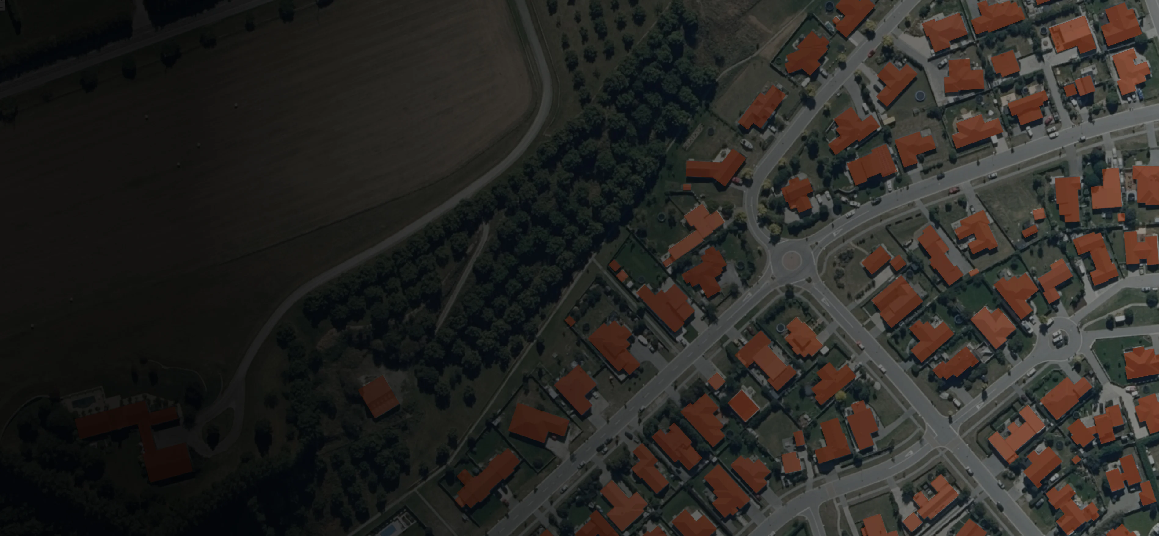
Accelerate access to geospatial data for colleagues and collaborators with our intuitive data browser.

Data Discoverability
Too often an organisation's data is lost, hidden or locked away — preventing your team from making informed choices. With Koordinates, your team can easily find all the data they need.
- Make your data truly accessible — alongside securely shared data, your own private data projects, and a world of public data.
- Users no longer need to navigate servers, APIs, and shared drives to get what they need. Koordinates makes it simple for everyone to get data in minutes.

Powerful Search
Find, assess, and access the data you need with Koordinates — quickly and easily.
- Filter search results by data type, region, license, publisher, and category.
- Public data is automatically search engine optimised, allowing it to be indexed and discovered on major search engines.
- Assess results with the data sheet, showing data type, feature count, publisher, license, and more. And when you’ve found what you need, search inside data to find exactly what you’re after.

Discover APIs, History & Metadata
Dive deeper into the capabilities of your data.
- Explore metadata in a range of international standards, including ISO 19115/19139 and Dublin Core — and download in XML or PDF.
- Access OGC web services and APIs, including the Koordinates query API and Kart.
- Learn about the full history of your data, create change sets, and understand exactly how up-to-date your data is.
Additional features of the Koordinates Data Browser

Data Cards & Sheets
Immediately understand data type, feature count, publisher, license, and update history. Dive deeper into the data sheet for detailed metadata, CRS and edit history.

Data Layer History
View data updates from a single table in the browser. Changesets are available with a primary key, making it easy for users to update data, without having to download the entire dataset from scratch.

Starred Data
As your organisation imports more and more data, finding your regularly used datasets can become a repetitive task. The Star feature allows you to keep tabs on your regular data, in a separate, searchable list.

Licences
Load and apply your own custom licenses, or add open Creative Commons licensing, which are built-in to the platform. Users receive full copies of your licence with each download.
Data Cards & Sheets
Immediately understand data type, feature count, publisher, license, and update history. Dive deeper into the data sheet for detailed metadata, CRS and edit history.
Data Layer History
View data updates from a single table in the browser. Changesets are available with a primary key, making it easy for users to update data, without having to download the entire dataset from scratch.
Starred Data
As your organisation imports more and more data, finding your regularly used datasets can become a repetitive task. The Star feature allows you to keep tabs on your regular data, in a separate, searchable list.
Licences
Load and apply your own custom licenses, or add open Creative Commons licensing, which are built-in to the platform. Users receive full copies of your licence with each download.
More features
Map Viewer
Visualise, query and share your data in a dynamic map viewer.Explore
Data Manager
Simplify your workflows, streamline updates, and save time getting data to colleagues, collaborators, and the public.Explore