FEATURES
Data Manager
Simplify your workflows, streamline updates, and save time getting data to colleagues, collaborators, and the public.

Streamlined Data Workflows
The Koordinates Data Manager automate the work of data management, from uploading and maintaining data to sharing, publication, and export.
- Easily import data and manage updates from your existing sources, including Esri REST APIs, AWS S3, or drag-and-drop uploads.
- Manage your entire workflow from a beautifully designed, easy-to-use, and fully responsive cloud application.

Secure Access Management
Get complete control over who can view, access, or manage your data.
- Granular access controls, ranging from completely private and secure to openly licensed for the world.
- Share with individual users or bespoke groups, and revoke access at any time with a click.
- Koordinates is ISO 27001 compliant, with over a decade’s experience in working with enterprise customers in government and the private sector.

Update & Audit Data Changes
Revolutionise your data updates Koordinates' distributed version control for data.
- Streamline your data updates. Easily review suggested changes from colleagues and collaborators, and push changes from source data with a click.
- Remove the risk from data updates with our easy-to-use tools for quality assurance and historical review.
Additional features of the Koordinates Data Manager

Metadata
Easily add metadata to your data, and edit and update metadata without leaving the browser. Koordinates automatically translates your metadata for users into ISO 19115/19139 or Dublin Core.
Supported formats
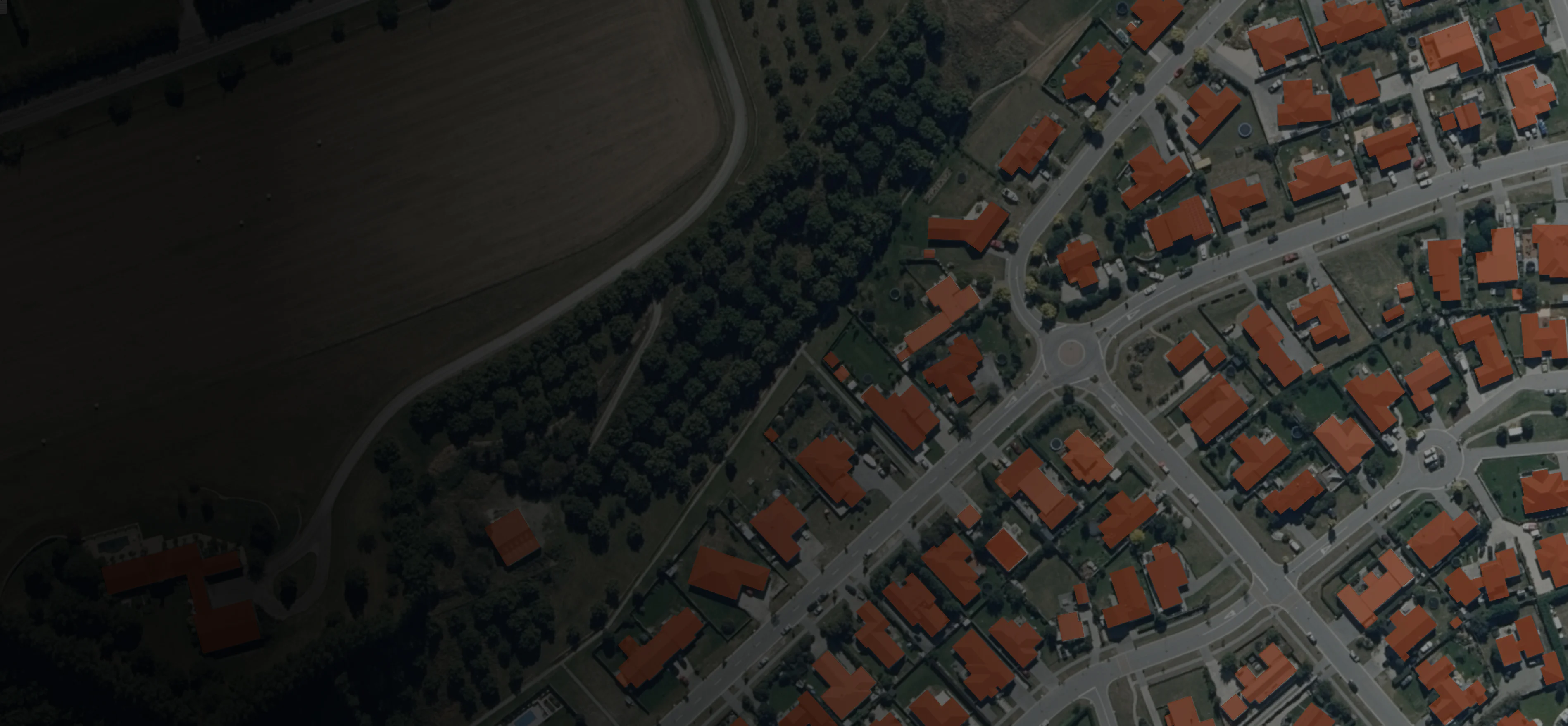
Easily upload your vector, tabular, raster, point cloud data or documents. We support all major data formats, including GeoPackage, Geodatabase, Shapefile, MapInfo TAB, CSV, GeoJPEG, TIFF, ESRI ASCII, and many more.

Analytics
Site administrators have a full suite of analytics reports at their disposal. Reports include User Exporting history, Data and Document Popularity, Downloads, Storage and API activity.
Users and groups
Easily manage user site and data access with Users and Groups. Add a user with only an email address and choose their access level. Use Groups to privately share data with select users or teams.
Metadata
Easily add metadata to your data, and edit and update metadata without leaving the browser. Koordinates automatically translates your metadata for users into ISO 19115/19139 or Dublin Core.
Supported formats
Easily upload your vector, tabular, raster, point cloud data or documents. We support all major data formats, including GeoPackage, Geodatabase, Shapefile, MapInfo TAB, CSV, GeoJPEG, TIFF, ESRI ASCII, and many more.
Analytics
Site administrators have a full suite of analytics reports at their disposal. Reports include User Exporting history, Data and Document Popularity, Downloads, Storage and API activity.
Users and groups
Easily manage user site and data access with Users and Groups. Add a user with only an email address and choose their access level. Use Groups to privately share data with select users or teams.